

So how did this last high water measure up to past events?
Keep in mind that every high water event is different, influenced by many contributing factors. Temperature is a big factor- warm rain brings down accumulated snow pack and the river rises rapidly. During colder spells, it can rain heavily for days without much change in the river level- it’s mostly falling as snow throughout our watershed, which has a lot of high elevation. On Sept 20 we had 60 mm of rain but the temperature was 17’- the river came up over 16 feet in 24 hours. Three days later we had over 40 mm or rain, but the temp was only 11’ – the river only rose about 6‘.
Historical comparisons to BIG floods:
On Sunday Sept 20, streamflows on the Squamish River near Brackendale were at 1790 m3/s., a flow rate that exceeds the five-year return period flow .
In recent years, we have seen similar high water events- 1995 (1660m3/s), 2001 (1530m3/s), 2006 (1610m3/s), 2010 (1700m3/s)
By contrast, the flood of 2003 saw streamflows of 3140 m3/s.
The most damaging floods (6 in the last 30 years) were over 2000m3/s If it had rained another day or so- the result could have been a LOT more severe.
Important considerations
- Planning for animal care/evacuation to high ground/ feed and hay storage above grade
- Protecting the water supply- wells get contaminated during prolonged floods
- Because of the speed that we can expect future flooding events- its very likely to be stuck on the other side of th e reserve, with no way to get home- do you have a contingency plan?
Recorded Peak Discharges from 1958- 2012


Historical overview of Max and Min discharges between 1981 and 2012 (highlighting 2003 in red)

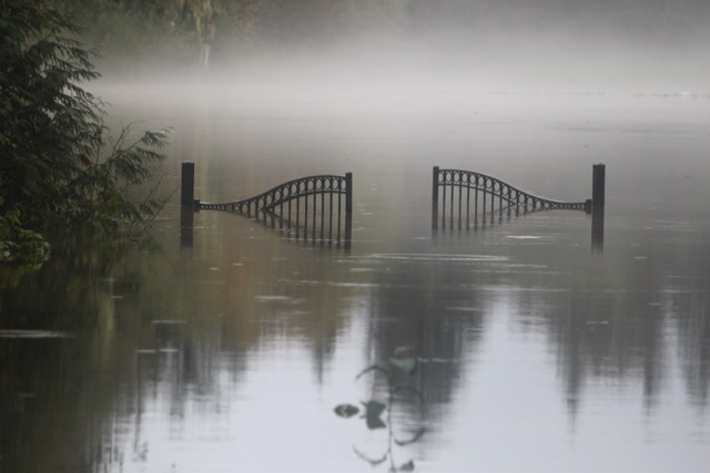
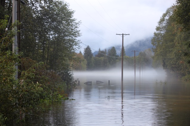
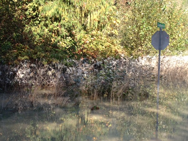
Gallery


